Territory · 5 min read
The Alentejo: Portugal's Slow Half
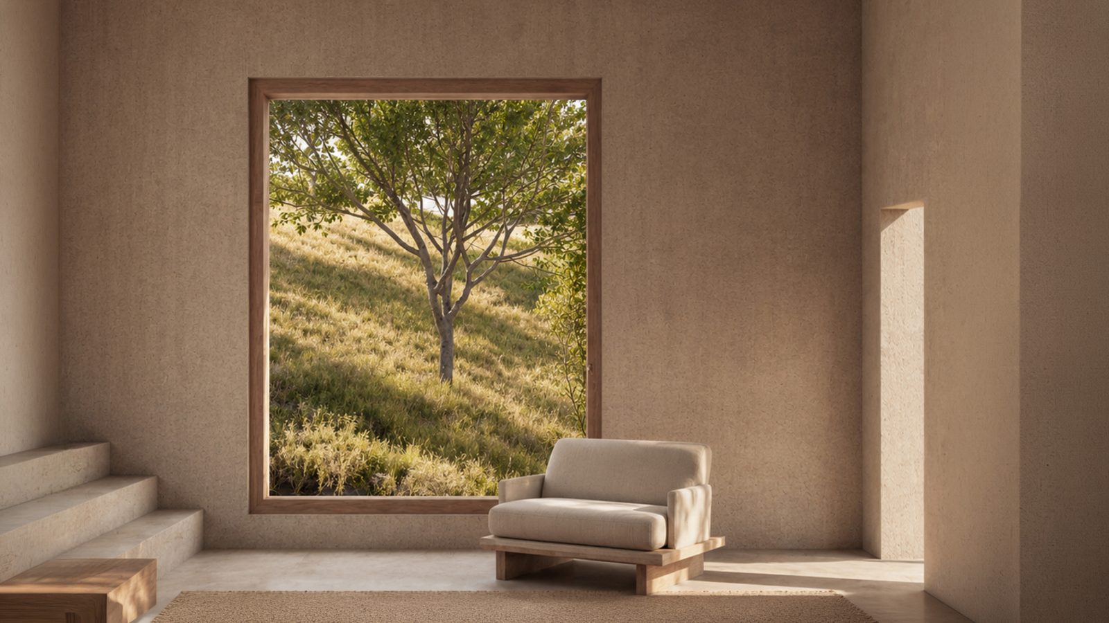
The Alentejo is the region between the Tagus river and the Algarve: roughly a third of mainland Portugal's territory holding under a tenth of its population *(figures to verify, INE)*. Wheat plains, cork-oak montado, whitewashed towns — and an Atlantic coast that the twentieth century's tourism industry passed over, leaving it to arrive intact in the twenty-first. In the territorial chain this journal follows, the Alentejo is the level that explains why.
Introduction
Every country keeps one region where time is understood differently. Spain has its Extremadura, Italy its deep south; Portugal has the Alentejo — literally "beyond the Tagus" — a name Portuguese speakers pronounce with a particular softness, half affection, half apology. For centuries the region was shorthand for rural poverty and emigration; it is now shorthand for everything urban Europe misses. Neither cliché survives an honest look, and the honest look matters here, because the Alentejo is the missing middle term of this journal's chain: the reason a municipality like Grândola could hold a coastline like this one against sixty years of pressure.
In this article
- Where the Alentejo is, and what "beyond the Tagus" contains.
- The three forces that made the slowness: estates, cork, emigration.
- The region's three economies today — land, heritage, presence.
- The litoral: the region in miniature, but wetter.
- The Alentejo's place in the territorial chain.
The geography: a horizontal country
The Alentejo runs from the Tagus to the Algarve's mountains, and from the Spanish border to the Atlantic — on the order of 31,000 km², about a third of the mainland *(verify, DGT/INE)*. Its signature is horizontality: wide grain plains, low ranges, the *montado* — the cork and holm oak savanna that is Europe's largest agro-forestry system *(verify claim)* — and rivers working slowly toward the ocean. The population, under 470,000 for the whole region *(verify, INE 2021)*, thins to numbers rural France abandoned generations ago.
The coast — the Alentejo litoral — is the region in miniature but wetter: rice in the river plains, pine on the dune sands, lagoons behind the beaches, and villages that stayed villages. From Tróia down past Grândola's ten beaches to Sines and the wild Costa Vicentina beyond, it is the longest lightly-developed shore in southern Europe within reach of a capital city.
The history that made the slowness
The Alentejo's character is not temperament; it is agrarian history. Three forces shaped it.
The latifúndio. From the medieval reconquest onward, southern Portugal was organised in great estates worked by landless labour — the system whose Grândola chapter this journal has told. Concentrated ownership meant few towns, little smallholder sprawl, and landscapes managed in vast single decisions — for centuries, mostly the decision to change nothing.
The cork economy. The montado rewards patience on a nine-year harvest cycle and punishes clearance; Portuguese law protects the trees individually. A region whose core asset cannot legally be removed develops, over generations, an institutional respect for standing things.
Emigration and the interior's emptying. Through the twentieth century the Alentejo exported its people — to Lisbon, to France, to Germany — leaving a demography that made mass coastal development uneconomic just as the Algarve was building for charter flights. What looked like decline functioned, in hindsight, as preservation: the fork this journal maps in Grândola vs the Algarve.
When democracy arrived in 1974 — announced, fittingly, by a song about an Alentejo town — the region put its oldest question, land, at the centre of national politics. And when planning law matured in the decades after, the Alentejo litoral received the strictest coastal regime in the country: the bed-per-resident cap, the reserves, the 500-metre strip. Slowness, by then, had become policy.
The Alentejo today: three economies
The land economy endures: cork (Portugal leads the world; the Alentejo is its heartland *(verify APCOR)*), wine (the region is one of Portugal's major producers, its coastal vineyards a newer chapter *(verify IVV)*), olives, rice, cattle.
The heritage economy grows: Évora's UNESCO core, the marble towns, the walled villages — a tourism of interiors and slowness, capped on the coast by the instruments above.
And the presence economy arrives: remote workers, returning emigrants' grandchildren, and the international buyers this journal serves — people purchasing not a unit of housing but a share of the region's central scarcity, quiet with legal causes. The Alentejo's challenge, visible from Grândola's council chamber, is admitting the third economy without letting it dissolve the first two — which is what the planning stack exists to manage.
The Alentejo in the chain
| Level above | What the Alentejo inherits | Level below | What the Alentejo imposes | |---|---|---|---| | Portugal | Open ownership, national coastal law, the reserves | Grândola | The PROT's tourism cap; regional identity of restraint | | — | — | Comporta / Melides | The agrarian landscape they sit in; the slowness they sell |
One clarification the chain requires: administratively, the coast this journal covers sits in the Setúbal district / Alentejo Litoral sub-region — the region's edge, not its stereotype. Readers who know only inland Évora's wheat should adjust the picture: here the Alentejo meets the ocean, and its slowness wears salt.
Conclusion
Regions, like the trees they grow, reveal their nature under pressure. Sixty years of European coastal gold rush pressed on the Alentejo litoral exactly as on every other southern shore — and the region's deep structure, formed by estates, cork and emptiness, answered differently: it held. The Alentejo is not Portugal's past, as the old condescension had it, nor a lifestyle brand, as the new flattery has it. It is the country's control experiment — the half that shows what a coast remains when nobody hurries it.
At the far western edge of that experiment, in the municipality of Grândola, Apaulinha's nine architect-designed homes stand on twelve hectares of it. Discover the experiment's westernmost houses →
---
Key takeaways
- A third of Portugal's land with under a tenth of its people: horizontality is the signature.
- Latifúndio estates, the cork economy and emigration produced the emptiness that later became protection.
- What looked like decline functioned as preservation — the control experiment of coastal Europe.
- The litoral carries Portugal's strictest coastal regime: the bed cap, the reserves, the 500 m strip.
- The presence economy (remote workers, international buyers) is arriving into a system built to absorb it slowly.
- The coast this journal covers is the region's western edge — the Alentejo with salt.
---
FAQ
Where is the Alentejo? Between the Tagus river and the Algarve, from the Spanish border to the Atlantic — roughly a third of mainland Portugal's territory, with Évora as its principal city.
What does "Alentejo" mean? "Beyond the Tejo (Tagus)" — the land seen from Lisbon, across the river and southward.
Why is the Alentejo so empty? Centuries of large-estate agriculture, a patient cork economy, and twentieth-century emigration kept population low — a demography that, on the coast, prevented Algarve-style development until protective law arrived.
Is the Alentejo coast the same as the Costa Vicentina? They adjoin: the Alentejo litoral runs from the Tróia peninsula past Sines, where the Sudoeste Alentejano e Costa Vicentina natural park begins and continues into the Algarve's west coast.
What is the montado? The cork and holm oak agro-forestry landscape — managed, not wild — that defines the region's interior and economy, harvested on a nine-year cycle under individual-tree legal protection.
What is the Alentejo known for producing? Cork above all, plus wine, olive oil, rice on the coastal plains, and wheat historically — the "bread basket" role that shaped its estates.
Is the Alentejo coast protected from development? Its litoral carries Portugal's strictest coastal regime: a regional cap of about one tourist bed per resident, national ecological and agricultural reserves, and a 500 m no-build strip under the coastal programme.
How does the Alentejo relate to Grândola, Comporta and Melides? It is the regional level of the chain: Grândola is an Alentejo municipality, and Comporta and Melides are places within that municipal and regional frame — the slowness they are famous for is the region's, made local.
---
Related reading
- The Territory — the chain this article completes at regional level.
- Grândola: The Complete Guide — the municipality where the region meets the ocean.
- The History of Grândola — the regional forces, told through one town.
- Grândola vs the Algarve — the region's path against the industrial alternative.
- Why Building Is So Restricted — slowness, converted into statute.
Continue exploring
↓ Alentejo
↓ Grândola
---
Sources & further reading
- INE — Censos 2021 (regional population, area) *(source required before publication)*
- Turismo de Portugal — PROT Alentejo fiche
- APCOR — cork industry data *(source required before publication)*
- IVV — wine region data *(source required before publication)*
- ICNF — Sudoeste Alentejano e Costa Vicentina